3D Laser Scanning
3Dedgemapping Scan to BIM team utilize the 3D laser scan data (point cloud data) to produce as-built 3D Revit models for refurbishment, retrofit project.
Based on the Level of detail/development (LOD) specification agreed with the client the Building information modeling (BIM) delivered by adding information to each object, creating more intelligent objects.
- 2D Façade
- 2D Floor plan
- CAD 3D Architecture and MEP modeling
- 3D MEP modeling of Airport services and gas stations.
- 3D BIM modeling (Building information modelling).
- 3D Revit Architecture and MEP modeling.
- 3D Interior modeling.
LiDAR
3Dedgemapping provides full range of LiDAR data processing services. We have experienced resource subjects the collected data to a rigorous quality control review process – including data density, terrain variation analysis, data anomaly filtering, review of 3D/perspective views and review against corresponding digital orthophotography (where available).
- Classification of Bare Earth and vegetation, buildings, bridges
- DTM, DSM and Contour generation
- Electrical Utility Mapping / Power line classification and mapping
- Flood Mapping.
- Hydro enforcement.
- Mining project.
- Topographical Mapping.
GIS Mapping
Geographic Information Systems(GIS) team utilize the computer-based tool that analyzes, stores, manipulates and visualizes geographic information on a map and displaying data related to positions on Earth's surface.
- Mapping from aerial and satellite images
- Mapping from top sheets
- CAD digitization and placing texts in maps
- Asset data mapping and Management.
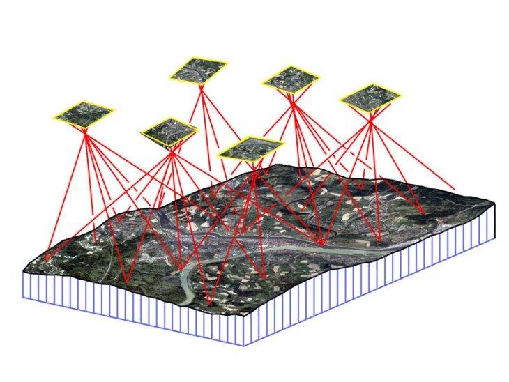
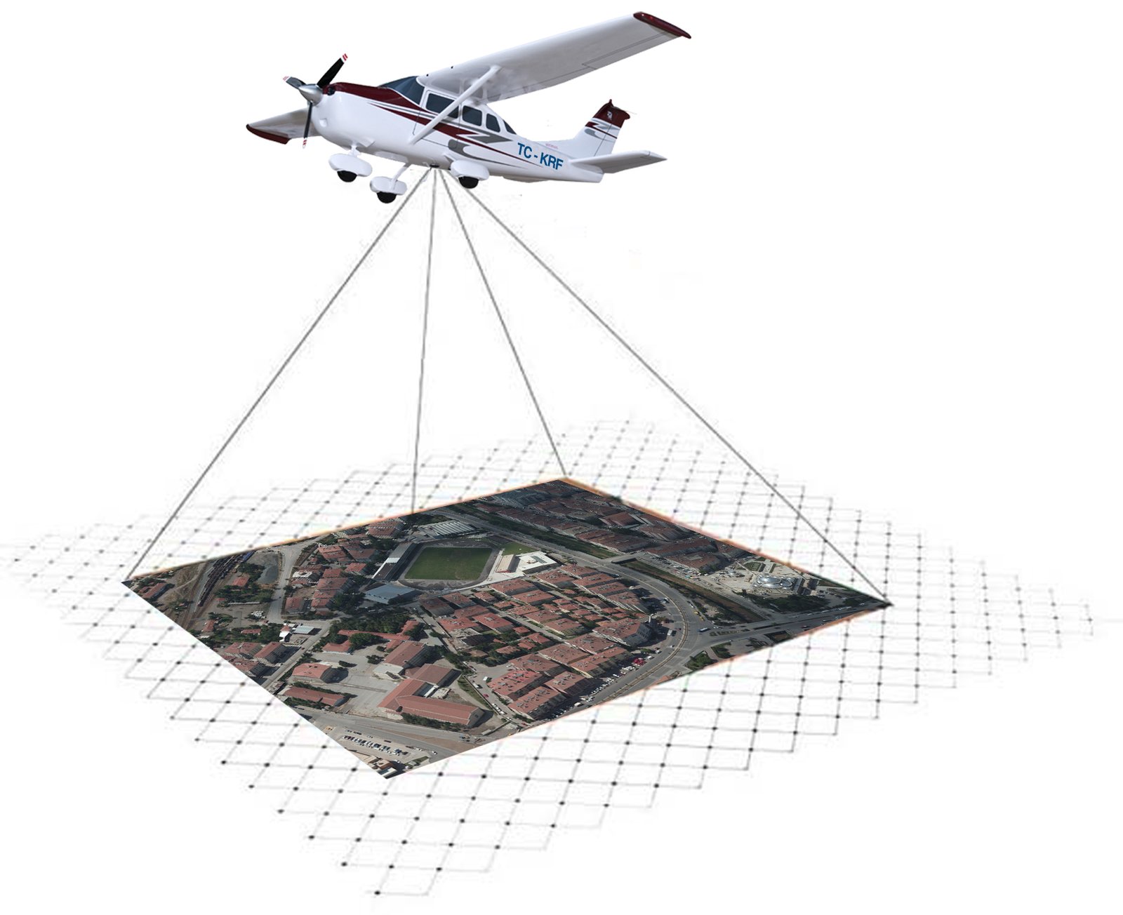
Photogrammetry
3Dedgemapping Photogrammetry team utilizes large-format digital imagery and ground coordinate information to effectively recreate the geometry of a portion of the earth in a virtual environment.
- Aerial Triangulation & Adjustment
- Stereo-Compilation
- 3D Planimetric feature extraction
- Topographic and Cadastral mapping
- Land use/Parcel Mapping
- Digital elevation/Surface Model (DEM /DTM)